

Mar
2025
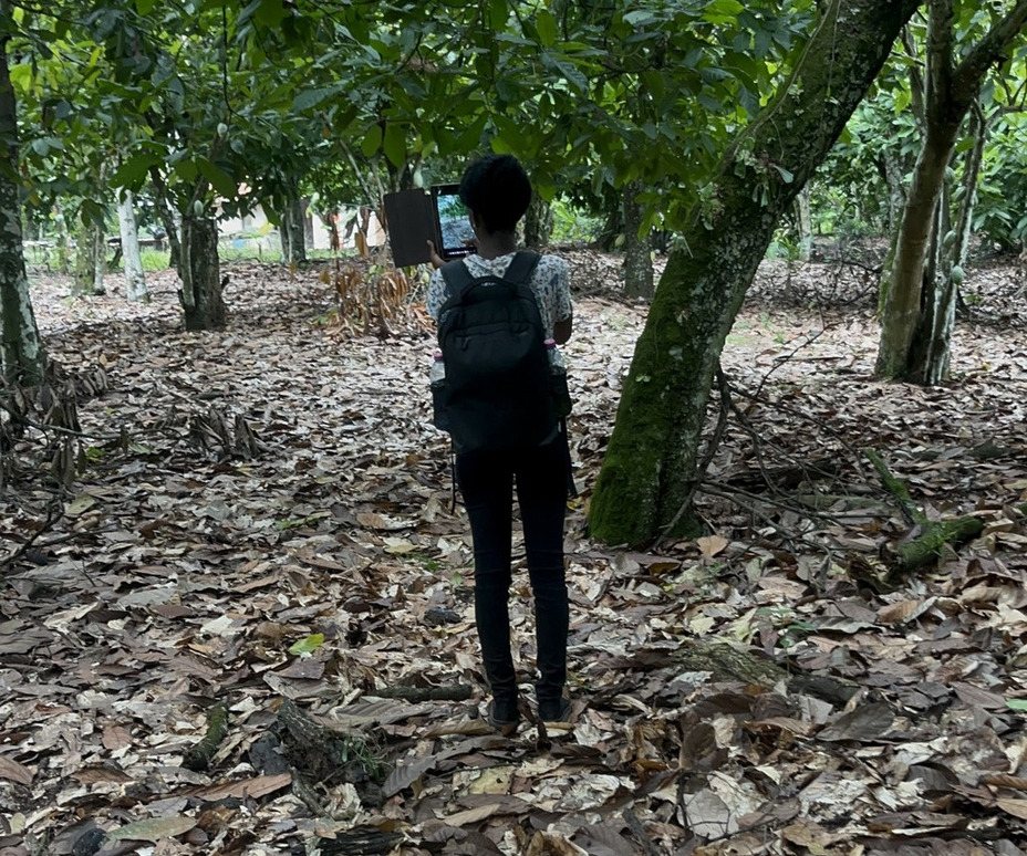
Understanding the Impact of EUDR on Smallholder Cocoa Farmers in Ghana: A Data-Driven Approach by CERSGIS
The 2025 EU Deforestation Regulation challenges Ghanaian cocoa farmers. CERSGIS and partners use data and AI to support sustainable practices, focusing on land tenure, awareness, and adaptation.