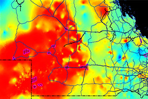
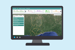
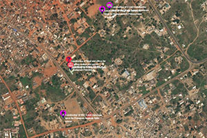
We execute and supervise projects in GPS mapping of point features  such as (Office locations, and serve facilities etc),  mapping of line features (road and route mapping) and polygon features (farm mapping, property mapping) using very recent, high accurate GPS devices and competent and experienced technical staff.

With over 10 years experience in GPS mapping across Ghana and West Africa, our staff have in-depth knowledge of the nature of the terrain and most suitable times to carry out GPS mapping to obtain accurate and reliable results.
Example of some executed projects are:

  • Mapping of Health, Education, Sanitation, Market, Water facilities in Ghana under the EMMSDAG project
  • Supervised the mapping of polling centres for the National Electoral Commission of Sierra Leone
  • Mapping of rice farms for the Inland Valley Rice Project
  • Supervised the mapping of polling stations for the Electoral Commission of Ghana.


We offer Solutions in;

  • Geo-Database Development We help to translate conceptual database design into actual database implementation. We aid you to select the right RDMS (Relational Database Management System) and the designing of relevant data capturing techniques to acquire data for the database.
  • Spatial Analysis We assist institutions create meaningful information from data for specific purposes.
  • Infrastructure/ Facility Mapping We develop maps for physical and organizational structures. Decision makers needs these maps for taking decisions.
  • GIS / GPS Data Intergration We help institutions and organizations combine data from multiple sources with GIS data in such a way that it can yield consistent, comprehensive, current and correct information for reporting and analysis.
  • Environmental Modelling Environmental Models improve the understanding of natural systems and how they react to changing conditions, such as exposure to hazardous substances and the effects of their exposure.
  • Customized GIS Application With a wide range of GIS software and hardware available, users are often confused about which software to choose for project activities. In view of such uncertainties on the part of non-experts, we offer advisory services on GIS applications tailored to our clients needs.