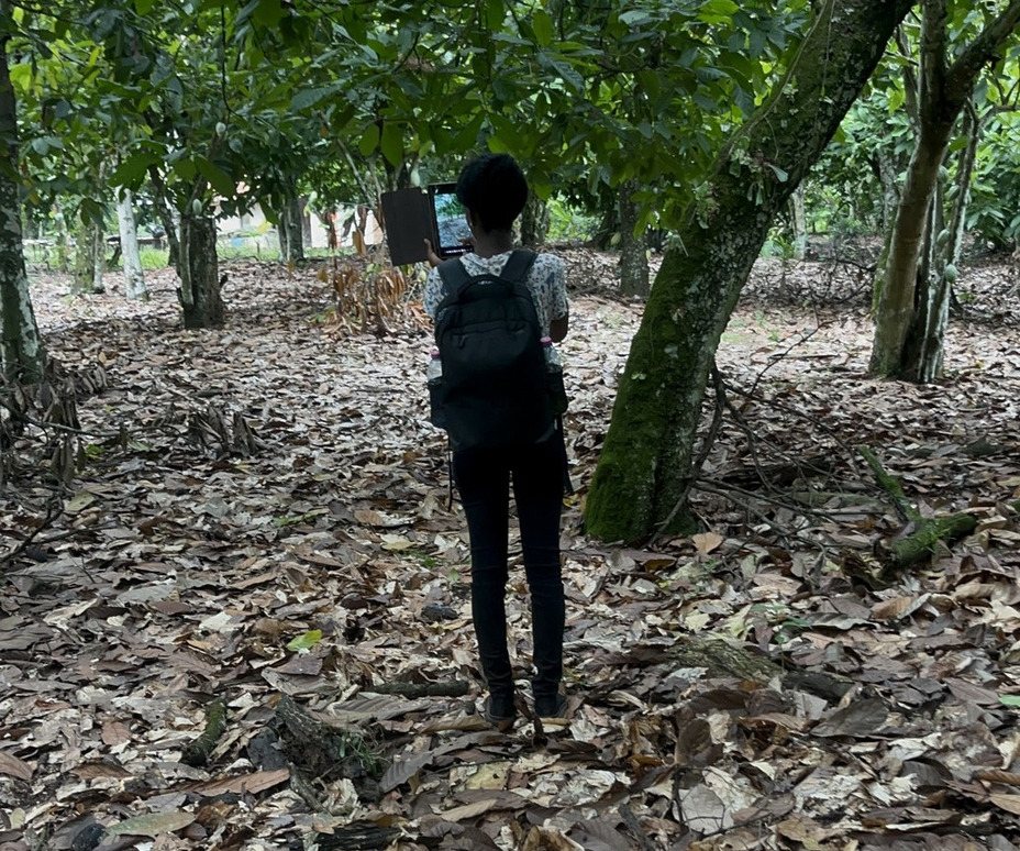
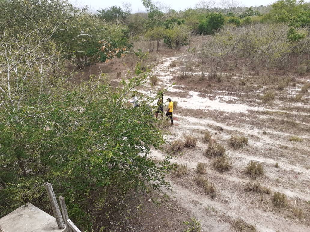
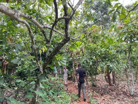
•   You are welcome to
          CERSGIS
    Centre for Remote Sensing and Geographic Information Services

Who we are

The Centre for Remote Sensing and Geographic Information Services started as a Remote Sensing Application Laboratory in 1990 at the Department of Geography and Resource Development, University of Ghana, Legon. The Remote Sensing Application Unit developed its staff capacity to provide contractual Remote Sensing and GIS services to its clients. In 2000, the status of the Remote Sensing Application Unit changed to Centre for Remote Sensing and Geographic Information Services (CERSGIS). The change of name meant change of strategic focus from a funded establishment to a self-sustaining Non-profit Organization that focused on providing geographic information and remote sensing services for sustainable development planning and management of resources...


News