Remote Sensing
Landsat? Sentinel? high resolution imagery? You name it. We have you covered
We provide services such as acquisition or procurement of Optical and RADAR images for purchase for individuals and corporate use. Images are packaged in user friendly manner based on client requirements. Services provided include processing of raw satellite images into visible bands, image rectification, change detection analysis for various images (Quickbird, Landsat, Aster, etc) and for specific applications such as Forest Monitoring, Climate Change Analysis and developing early warning systems.
Our Remote Sensing services include
-
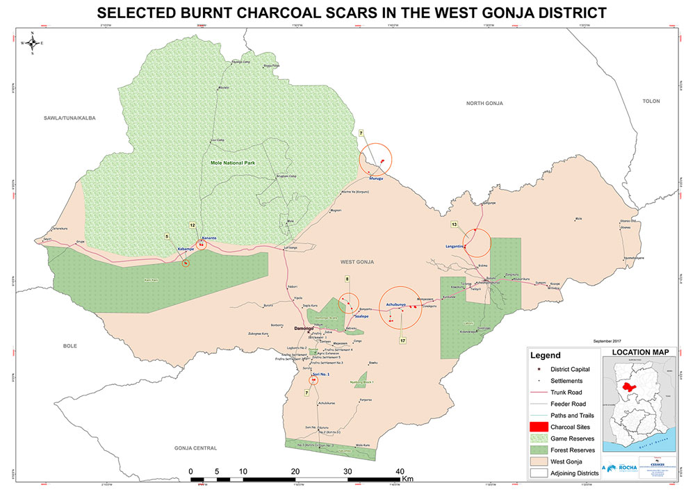
Image Map Production
Image data derived from remote sensing satellites offer a high potential for topographic and thematic mapping and revision. They offer a higher accuracy for representation of roads, buildings and other features of interest.
-
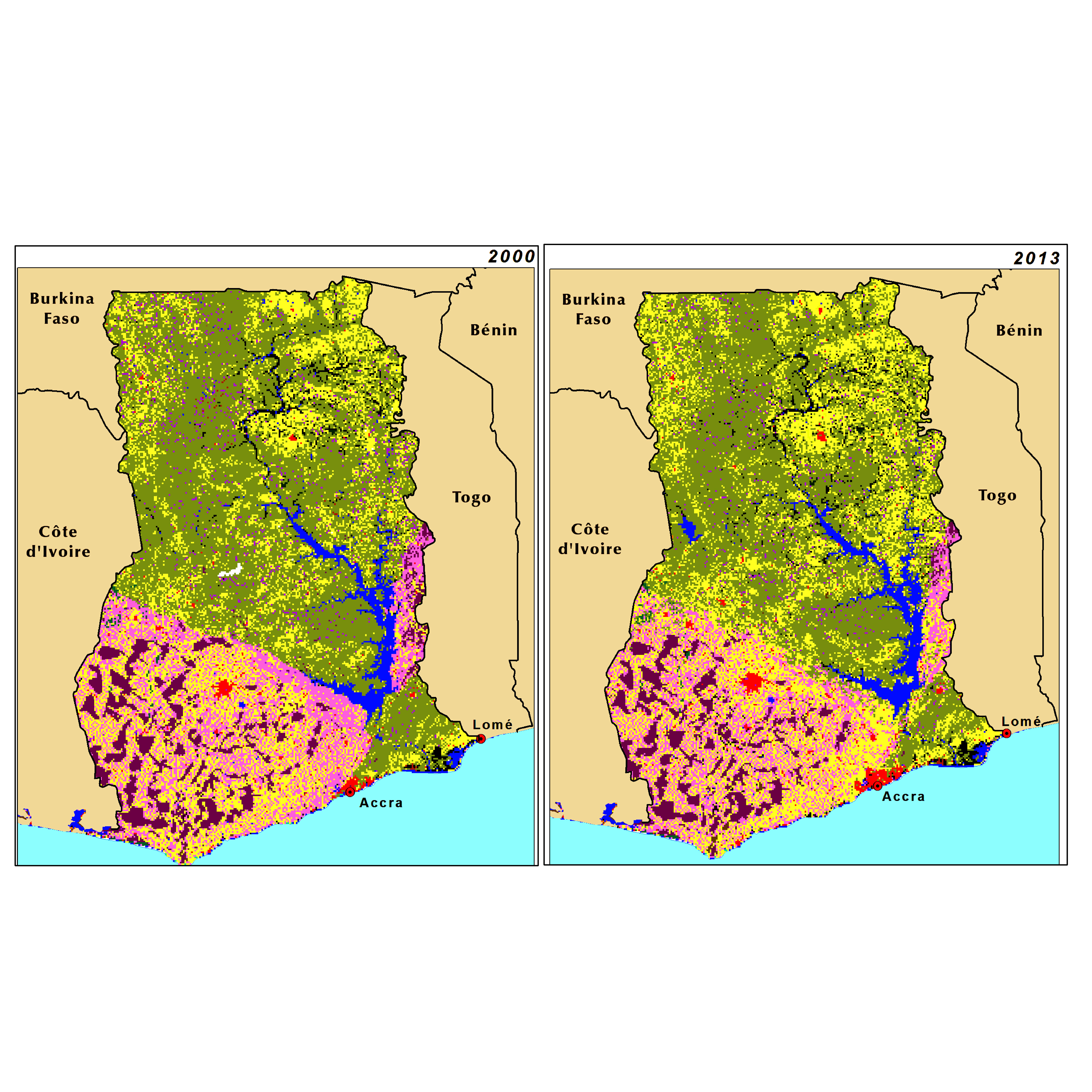
Land Cover/Land Use Mapping
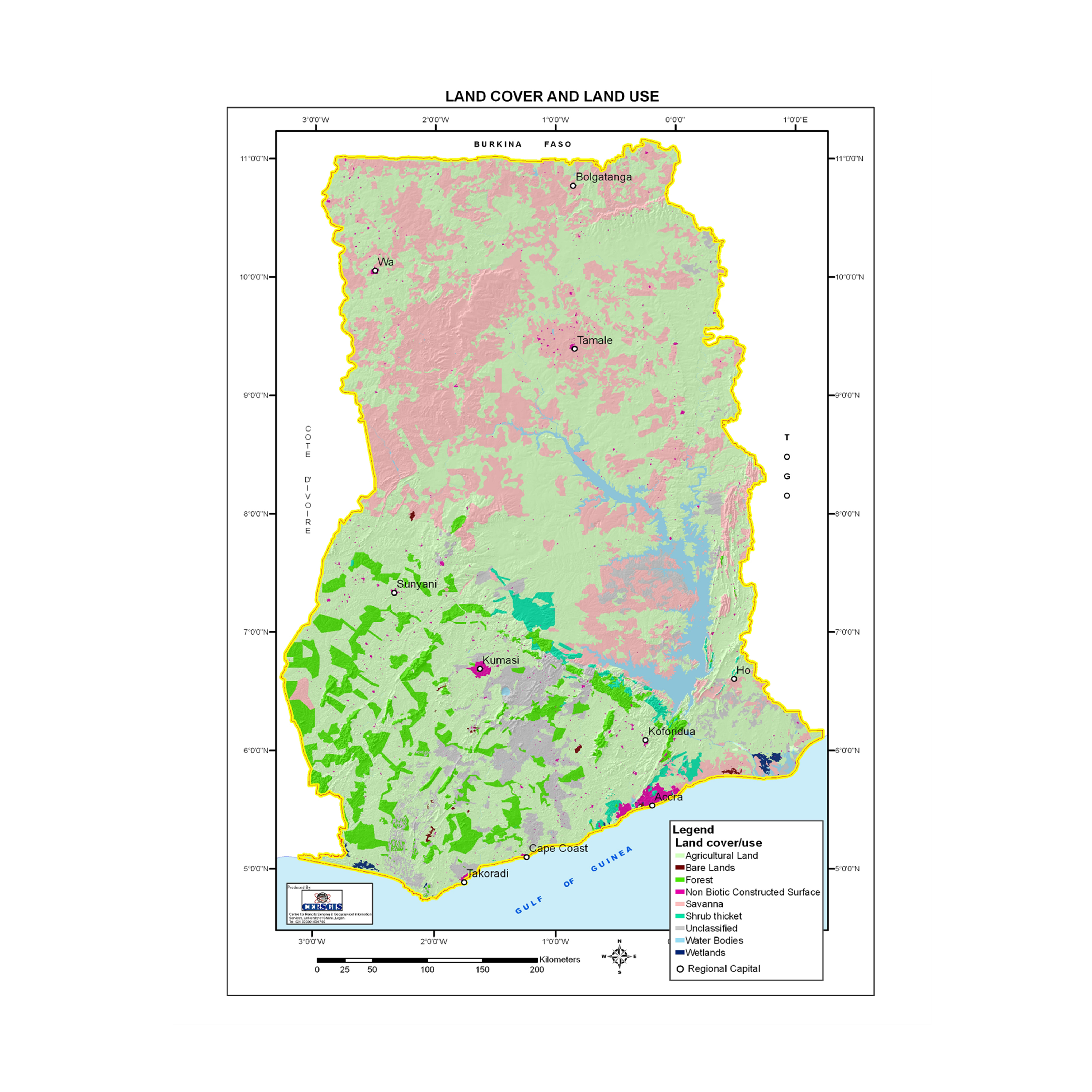
Global environmental changes are usually due to changes in land use land cover types. Remote sensing is a useful tool for classifying land use types to know the usage and extent to which land is used. Information from land use changes is fundamental for environmental studies, urban planning, and resource management to sustainable development.
-
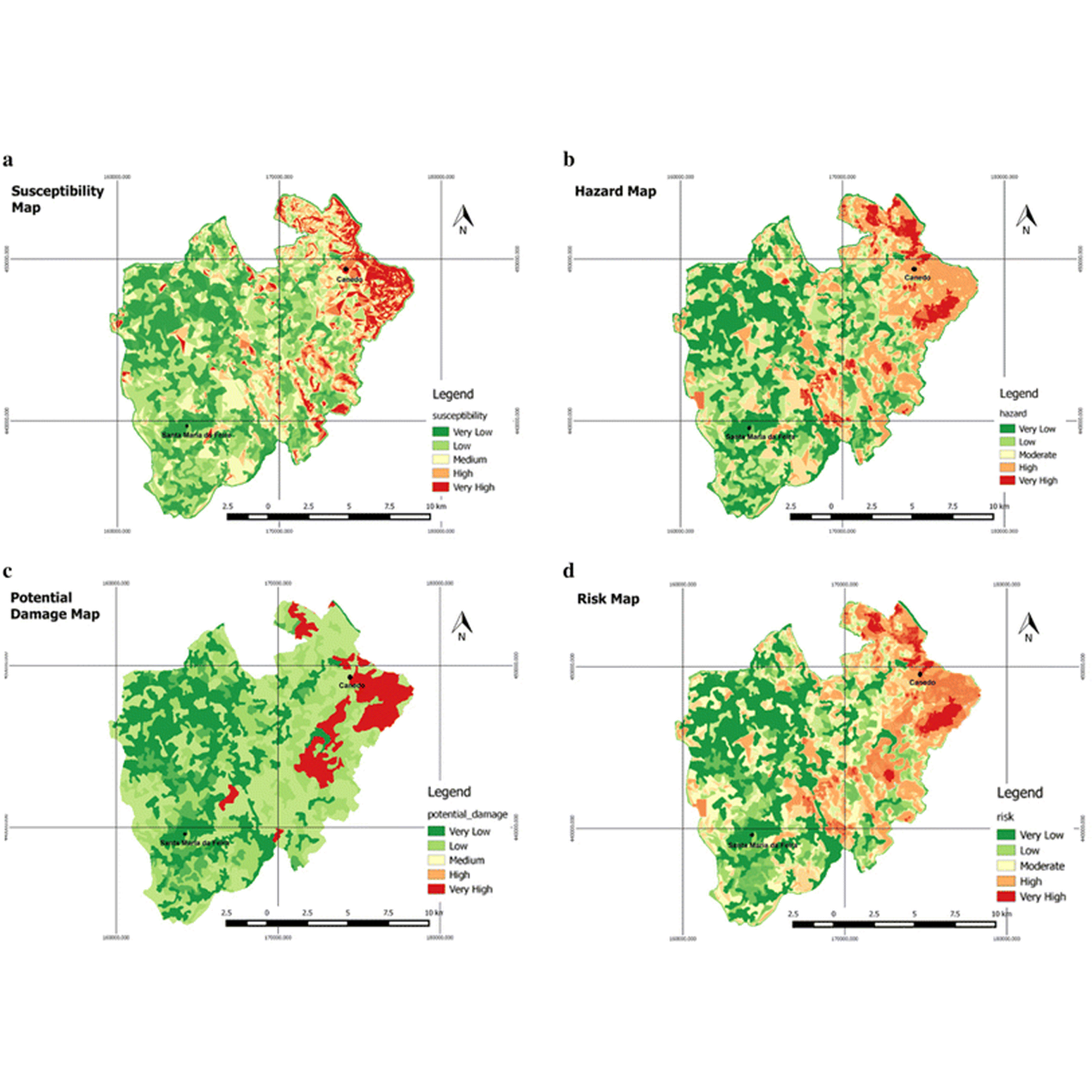
Agricultural Risk Mapping
Natural and human induced hazards like erosion, flood, drought, forest fires and extreme temperature variations negatively affect agricultural activities. These impacts damage crop production, food security and livelihoods causing hardships due to high dependency on agricultural produce. To address this issue, management need geo-spatial decision support tools at appropriate scales for assessment and mitigation initiatives.
-
Satellite Image Analysis
Remote sensing image analysis provides a quantitative evaluation of satellite-derived data. Analysis of satellite imagery involves identifying and determining the relevance of features in an image based on their geospatial context. By analyzing satellite imagery, useful information to aid environmental mapping, urban planning, disaster management, environmental monitoring, geological interpretation, etc. can be derived.
-
Natural Resource Monitoring
Land Use Land Cover changes have become a core element in present strategic means of managing natural resources and monitoring environmental changes. The changes in land use are triggered by both human and environmental activities. To maintain currently available resources and understand the dangers associated with over-exploitation of natural resources, it is imperative to map and monitor our resources.
-
Change detection
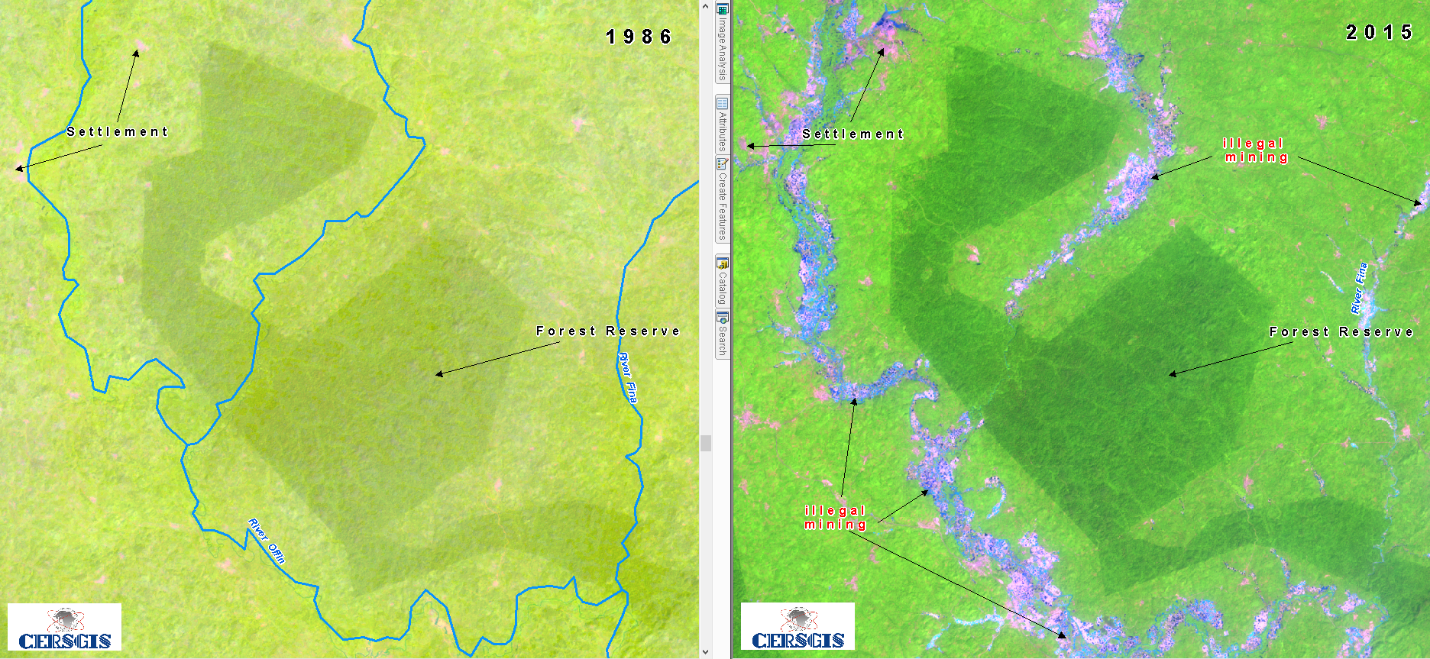
Change detection is a means of detecting the differences in the spectral response of images from varying periods, thus useful in the monitoring of natural resources, changes in land use, vegetation succession and anthropogenic effects such as deforestation, farming, urbanization, etc.
