Encroachment On The Sakumo Ramsar Site
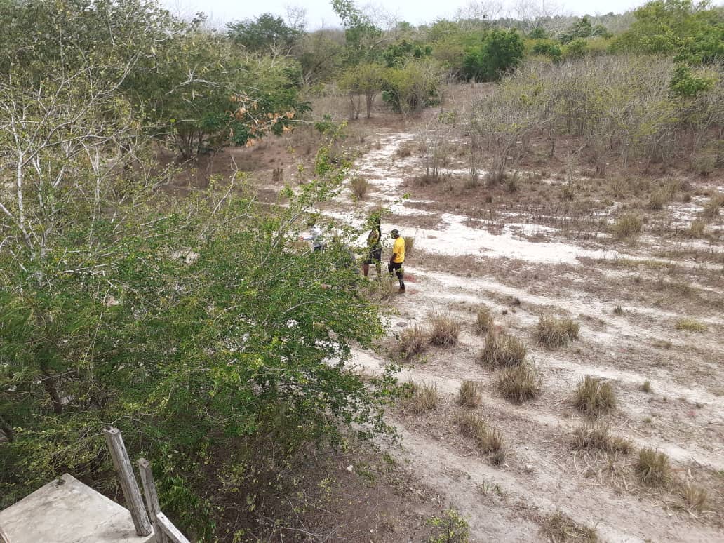
The Sakumo Ramsar Site also known as the Sakumo Lagoon is a wetland of international importance. It is the only
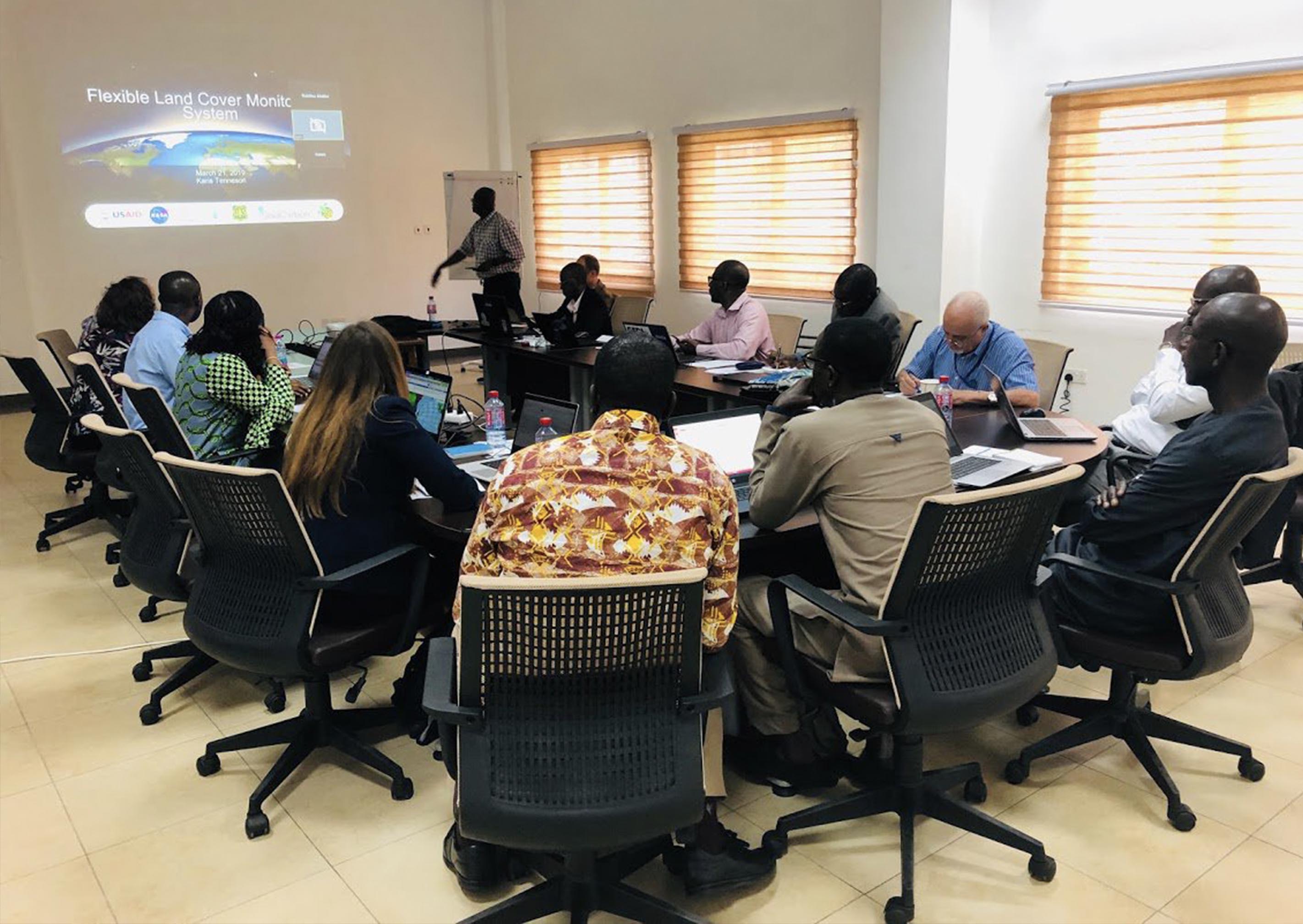
Operating as a regional hub, SERVIR West Africa promotes collaboration among technical institutions in the region, leveraging their respective strengths. It also works across the region to increase awareness, and improve access to and the capacity to use geospatial information.
In this initial phase, the program focuses on four countries: Burkina Faso, Ghana, Niger and Senegal. The program works with decision-makers to provide user-tailored information services
Learn MoreGALUP seeks to improve in effective land use planning in Ghana by enhancing the current operational planning framework and building capacity
None
Learn MoreBaSIS - is a decentralised M & E sanitation system developed to aid in the implementation of the CLTS (Community-Led Total Sanitation) at both sub-national and national levels.
The system is basically built to provide GIS-based data and information along the implementation of CLTS by field facilitators. Data collected and submitted with the BaSIS mobile data collection app is visualized as maps, charts and tables on the
Learn MoreThe Geoportal has been developed by kind coutesy of Centre for Remote Sensing and Geographic Information Services under the <a href="http://servir.cersgis.org> SERVIR-West Africa </a> program.
SERVIR is a joint USAID-NASA project. For more information on SERVIR
Learn MoreSustainable Management of Wetlands for strengthening food security and resilience of ecosystems in West Africa (GDZHAO). The Support Program for Monitoring of Environment and Security (GMES & Africa) is an initiative co-funded by the European Commission and the Commission of the African Union.
The CSE together with CERSGIS and 6 other institutions are carrying out program to specifically address African needs for water-related services, natural resources, marine and coastal areas and to provide solutions to environmental management, mitigation of climate change and to civil security and to develop and promote a portfolio of products and services based on the exploitation of EO data (in the fields of water, vegetation and soil) to improve the knowledge and decision making on wetlands west Africa in a sustainable management for food security and strengthening the resilience of communities and ecosystems.
Learn MoreWe have a mobile and web application development unit with competences in developing cutting-edge GIS solutions.
We have a mobile and web application development unit with competences in developing cutting-edge GIS solutions.
LEARN MOREWe execute and supervise projects with GPS mapping of point features such as (Office locations, and service facilities etc) and mapping of line features (road and route mapping) and polygon features (farm mapping, property mapping)
We execute and supervise projects with GPS mapping of point features such as (Office locations, and service facilities etc) and mapping of line features (road and route mapping) and polygon features (farm mapping, property mapping)
LEARN MOREWe provide services such as acquisition or procurement of Optical and RADAR images for purchase for individuals and corporate use
We provide services such as acquisition or procurement of Optical and RADAR images for purchase for individuals and corporate use
LEARN MOREWe have a series of well structured training programs available on request to institutions interested in having their staff trained to acquire skills in GIS and Remote sensing in Ghana and the West African sub-region at large.
We have a series of well structured training programs available on request to institutions interested in having their staff trained to acquire skills in GIS and Remote sensing in Ghana and the West African sub-region at large.
LEARN MOREThe Centre for Remote Sensing and Geographic Information Services started as a Remote Sensing Application Laboratory in 1990 at the Department of Geography and Resource Development, University of Ghana, Legon. The Remote Sensing Application Unit developed its staff capacity to provide contractual Remote Sensing and GIS services to its clients. In 2000, the status of the Remote Sensing Application Unit changed to Centre for Remote Sensing and Geographic Information Services (CERSGIS). The change of name meant change of strategic focus from a funded establishment to a self-sustaining Non-profit Organization that focused on providing geographic information and remote sensing services for sustainable development planning and management of resources...
The Sakumo Ramsar Site also known as the Sakumo Lagoon is a wetland of international importance. It is the only
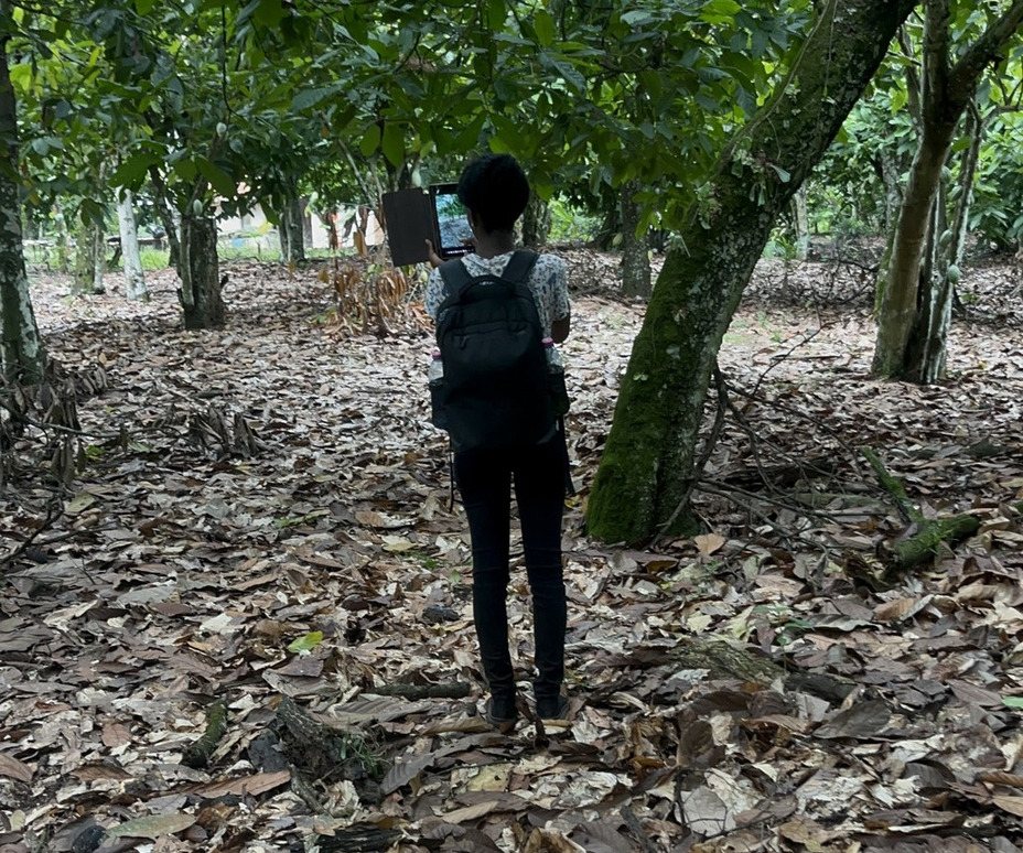
Only a few years ago, the issue was with the illegal logging of trees in our forests for timber,
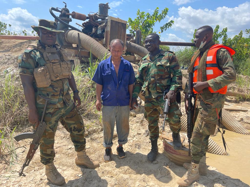
The Artisanal mining sector of Ghana was seen to steadily grow in size and significance.
Connect with us on @CERSGIS_GH